20221011-pathfinder-summaries-ah
This document is part of the request ”Meath Pathfinder Rural Cycleway Rapid Development”.
SMP Pathfinder Programme – Project Summaries  Cycle Network/Cycle Corridor Proposals
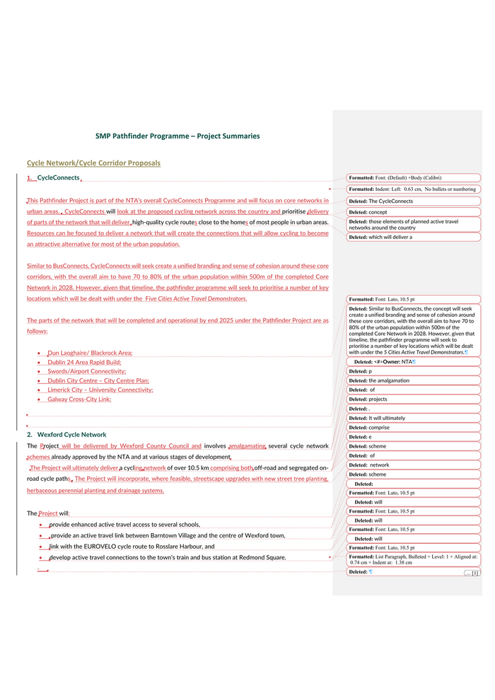
1. CycleConnects   This Pathfinder Project is part of the NTA’s overall CycleConnects Programme and will focus on core networks in urban areas. . CycleConnects will look at the proposed cycling network across the country and prioritise delivery of parts of the network that will deliver  high-quality cycle routes close to the homes of most people in urban areas. Resources can be focused to deliver a network that will create the connections that will allow cycling to become an attractive alternative for most of the urban population.    Similar to BusConnects, CycleConnects will seek create a unified branding and sense of cohesion around these core corridors, with the overall aim to have 70 to 80% of the urban population within 500m of the completed Core Network in 2028. However, given that timeline, the pathfinder programme will seek to prioritise a number of key locations which will be dealt with under the  Five Cities Active Travel Demonstrators.  The parts of the network that will be completed and operational by end 2025 under the Pathfinder Project are as follows:  • Dun Laoghaire/ Blackrock Area; • Dublin 24 Area Rapid Build; • Swords/Airport Connectivity; • Dublin City Centre – City Centre Plan; • Limerick City – University Connectivity; • Galway Cross-City Link;   2. Wexford Cycle Network The Project will be delivered by Wexford County Council and involves amalgamating several cycle network schemes already approved by the NTA and at various stages of development.    The Project will ultimately deliver a cycling network of over 10.5 km comprising both off-road and segregated on-road cycle paths.. The Project will incorporate, where feasible, streetscape upgrades with new street tree planting, herbaceous perennial planting and drainage systems.   The Project will: • provide enhanced active travel access to several schools,  •  provide an active travel link between Barntown Village and the centre of Wexford town,  • link with the EUROVELO cycle route to Rosslare Harbour, and  • develop active travel connections to the town’s train and bus station at Redmond Square. -
Formatted: Font: (Default) +Body (Calibri)Formatted: Indent: Left:  0.63 cm,  No bullets or numberingDeleted: The CycleConnectsDeleted: concept Deleted: those elements of planned active travel networks around the country Deleted: which will deliver a
Formatted: Font: Lato, 10.5 ptDeleted: Similar to BusConnects, the concept will seek create a unified branding and sense of cohesion around these core corridors, with the overall aim to have 70 to 80% of the urban population within 500m of the completed Core Network in 2028. However, given that timeline, the pathfinder programme will seek to prioritise a number of key locations which will be dealt with under the 5 Cities Active Travel Demonstrators.¶Deleted: <#>Owner: NTA¶Deleted: pDeleted: the amalgamationDeleted:  ofDeleted: projects Deleted: .Deleted: It will ultimatelyDeleted: comprise Deleted: eDeleted: scheme Deleted:  ofDeleted:  networkDeleted: scheme Deleted:  Formatted: Font: Lato, 10.5 ptDeleted: willFormatted: Font: Lato, 10.5 ptDeleted: will Formatted: Font: Lato, 10.5 ptDeleted: will Formatted: Font: Lato, 10.5 ptFormatted: List Paragraph, Bulleted + Level: 1 + Aligned at: 0.74 cm + Indent at:  1.38 cmDeleted: ¶ ... [1]
3. Longford Cycle Network  This Longford County Council Project involves creating  a radial cycle network along three approach roads leading to Longford town centre, comprising the ‘Battery Road (R198)’ and ‘Ballinalee / Major Well’s Road (N63)’ sites advance north and eastward towards the N4, with the ‘Farranyoogan (N63)’ extending westward and with further access opportunities to the Royal Canal Greenway.  Each location involves the introduction of a new cycleway connection and improved footpath provision. Where feasible, extensive tree planting and sustainable drainage systems will be provided.These connections will yield the foundation for a core network connecting areas of highest employment, retail, educational and social activity. The proposed routes are also in line with Longford Town’s Local Transport Plan, County Longford’s Active Travel Strategy, and the draft version of the National Cycling Network.    4. Active Travel Corridor – Carraroe, Sligo Town, Atlantic Technological University Sligo Campus  Under this Project, Sligo County Council will –  1) improve and enhance active travel infrastructure en-route from Carraroe into Sligo town centre (3km), and 2) further improve onward active travel links between Sligo town centre and Atlantic Technological University (ATU) Sligo campus at Ballinode.   The Project will contribute to the development of Sligo as a “3km Cycle Friendly Town” by providing an Active Travel Infrastructure corridor from Carraroe south of Sligo town to the town centre and aims to increase walking and cycling and reduce car journeys form the suburbs into the town centre. Provision of an Active Travel Corridor between Sligo Town Centre and ATU Sligo will alleviate the need for cyclists to travel circuitous routes around the town network.  Along these routes, the Project will include– • reducing  carriageway width for vehicular traffic, alterations to junctions in certain locations,  • providing high-quality cycling infrastructure including, where possible, contraflow cycling solutions in certain areas,  • providing high quality facilities for pedestrians including footpaths, safe pedestrian crossings etc., • alterations to junctions and roundabouts along the route to improve safety and usability for all, and • providing active travel links along the route, where necessary, to nearby residential areas, schools, retail facilities, community facilities, employment centres, and • and other improvements.
Deleted: Creation of
Deleted: . The proposed connectionsDeleted:  Deleted: <#>Owner: Longford County Council¶Funding Status: Funded by NTA ¶Approval Process: NTA Gateway¶Deleted: Sligo ATU
Formatted: Space After:  10 ptFormatted: IrishDeleted: Proposal to improve and enhance active travel infrastructure on route from Carraroe into Sligo centre (3km), and further improvements to onward active travel links between Sligo centre and Atlantic Technological University (ATU) campus at Ballinode. Deleted: Both elements Formatted: Font: Lato, 10.5 ptFormatted: Font: Lato, 10.5 ptDeleted:  reduction Formatted: Font: Lato, 10.5 ptFormatted: Font: Lato, 10.5 ptDeleted: inFormatted: Font: Lato, 10.5 ptFormatted: Font: Lato, 10.5 ptFormatted: Font: Lato, 10.5 ptFormatted: Font: Lato, 10.5 ptFormatted: Font: Lato, 10.5 ptFormatted: Font: Lato, 10.5 pt, Font colour: AutoFormatted: Font: Lato, 10.5 ptFormatted: Bulleted + Level: 1 + Aligned at:  0.74 cm +Indent at:  1.38 cmFormatted: Font: Lato, 10.5 pt, Font colour: BlackFormatted: Font: Lato, 10.5 ptFormatted: Font: Lato, 10.5 pt, Font colour: BlackFormatted: Font: Lato, 10.5 ptFormatted: Font: Lato, 10.5 pt
5. Inter-Urban Demonstrator (National Link Cork-Waterford) Various sections of the route between Cork and Waterford already have high quality active travel infrastructure in place or under construction. However, there are currently three significant gaps in the route: - Cork City to Dunkettle; - Carrigtohill to Midleton; and - Youghal to Dungarvan This Transport Infrastructure Ireland (TII)  project will provide high-quality active travel infrastructure to fill these three gaps and ensure that the areas currently under development are completed as expeditiously as possible.     6. Rural Cycleway Rapid Deployment – Navan to Trim This Project will be delivered by Meath County Council on part of the R161 between Navan and Trim and will look at methods for rapid deployment of a rural cycleway on the verges of a regional roads in the county. The Project willseeks to adapt both current standards and processes and some of the rapid deployment processes that were carried out during Covid-19 in urban areas and apply these in a rural context.  A trial section will see the construction of a segregated two-way cycleway within the existing road boundary.   The trial will explore pragmatic and cost-effective ways to construct a safe, segregated facility quickly whilst finding solutions to deal with any segregation, drainage, boundary treatments, junction/access layouts, signage, surfacing and safety issues. When constructed, construction supervision and engineering input will be used to address any technical with the contractor and the scheme will be subject to ongoing monitoring. If it proves successful, the trial will be scaled up and applied to longer stretches of regional roads in the County..     7. Dundalk Regional Road Cycleway This Project to be carried out by Louth County Council involves changes to a 4km section of the R132 Dundalk Inner Relief Road in favour of active travel, increased permeability, and creation of a “safe commuter corridor”. The road is currently unattractive for cycling and walking and acts as an artificial barrier within the town, making it difficult for locals in residential areas to access key services or destinations of choice. By making the route more attractive to cyclists and pedestrians, the changes will increase permeability, encourage modal shift, and yield improvements in air quality.
Deleted: Overall contribution to development of Sligo as a “3km Cycle Friendly Town”.Formatted: Font: Lato, 10.5 ptDeleted: ¶ ... [2]Deleted: NCN
Deleted: eDeleted: will entail the provisionDeleted:  ofDeleted: <#>Owner: TII¶Funding Required:¶Funding Status: Mostly funded with some uncertainty regarding Youghal to Dungarvan as not yet sure if it will be a Greenway. If it is, TII will fund; if not, Active Travel funding may need to be sourced from elsewhere¶Anticipated Source of Funding: TII¶Approval Process:¶Deleted: willDeleted:  Deleted: adapt current standards and some of the urban rapid deployment work carried out during Covid to a rural context.
Deleted: with Deleted: Upon Deleted: ionDeleted: ,Deleted: ,Deleted: issues would be ‘ironed-out’ Deleted: Having demonstrated successful implementationDeleted: .Deleted: ¶ ... [3]Deleted: Proposed Deleted:  byDeleted: severingDeleted:  Deleted: from
The Project will involve developing appropriate segregated cycle lanes and pedestrian/cyclist crossing points at existing junctions with further points at recognised desire lines to encourage more active travel. This will lead to the creation of a safe commuter corridor for pedestrians and cyclists to “hop on, hop off” to access areas along the length of the town.  These measures will complement the existing cycle lanes that exist predominantly within the town centre. Providing active travel and public realm space along this corridor will enhance permeability for communities to access local services such as education, health, retail, sports and leisure, employment and public transport stations.     8. Mullingar Cycle Corridor with links to Dublin-Galway Greenway  This Westmeath County Council project involves the provision of an Active Travel route from the west to the east side of the town to cater for the core of the town with links to the Dublin-Galway Greenway/Royal Canal Blueway. The project will incorporate public realm aspects into the design where possible.  The route will provide Active Travel facilities servicing key destinations including business, retail, residential, educational and leisure To help encourage people to choose sustainable mobility options in place of the car. A Bike Hire scheme introduced this year by Westmeath County Council in the towns of Athlone and Mullingar has seen increasing usage numbers since its launch at the end of April 2022, and the provision of improved Active Travel infrastructure will encourage the further expansion of the Bike Hire Scheme.   Active Travel/10-15 Min Towns 9. Five Cities Demonstrators The Five Cities Active Travel demonstrators encompass initiatives across each city, including localised cycling networks, cycling corridors, public transport infrastructure, road space reprioritisation, and links to existing Greenways. • Waterford cycle backbone • East Cork Sustainability Corridor   9.1 Five Cities Demonstrator: Dublin Active Travel City The Five Cities Active Travel demonstrator for Dublin will encompass several schemes across all four local authority areas. The schemes incorporate elements of cycle infrastructure, traffic reduction, road space reallocation, public realm improvements, and the 10-min neighbourhood. Its component parts are:  • Dun Laoghaire/Blackrock Area (Dún Laoghaire-Rathdown County Council)) - 10-minute town model to include segregated cycle facilities, the creation of ‘blocks’ which will be accessible to pedestrians but impermeable to vehicles, an expansion of active travel options into the area south of Dun Laoghaire, and the recapture of space from traffic in favour of public realm improvement and enhanced safety, air quality, and quality of life.
Formatted: Space After:  0 pt, Line spacing:  1.5 linesFormatted: Font: Not BoldDeleted: ¶ ... [4]Deleted: P
Deleted: .
Deleted: <#>Owner: Westmeath County Council¶Funding Required: €3.6m¶Funding Status: NTA to fund, though advise that if both Athlone and Mullingar to be funded, that will swallow all of Westmeath’s AT allocations for the years to 2025, assuming rates of allocation remain similar to 2022¶Approval Process: NTA Gateway¶Formatted: Not HighlightDeleted: 5
Formatted: HighlightDeleted: 4
Deleted: DLR CC
• Dublin 24 Area Rapid Build (South Dublin County Council) - Thisscheme will include rapid delivery of an 11km cycle network in Tallaght/D24, and the development of Castletymon as a 10-min neighbourhood via active travel infrastructure and public realm improvements. Both projects would ultimately link with the Dodder Valley cycle scheme creating an overall enhanced active travel network in this part of South Dublin.  • Dublin City Centre (Dublin City Council) - The city centre element of this pathfinder will combine the conversion of College Green and Dame Street to a low-traffic environment with the enhancement of public transport and active travel provision via the review of the City Centre Transport Study. The aim will be to implement major changes in College Green/Dame Street, the North and South Quays, Beresford Place, Gardiner Street, Pearse Street/Tara Street, and Stephens Green, and to do this in conjunction with the rollout of BusConnects and CycleConnects to transform travel within the city centre. -   • Swords/Airport Connectivity (Fingal County Council) - Dublin Airport is one of the biggest employers in Dublin and a high proportion of staff live in the Swords area, which is less than 5km to the north.  While relatively close cycle usage is low due to the poor cycle connectivity.  The aim of this pathway is to rapidly buildout a network in Swords and provide interim connections from Swords to facility connectivity until the BusConnects scheme is complete in 2028.  9.2 Five Cities Demonstrator: Galway Cross-City Link The Galway Cross City Link is project under the wider BusConnects programme which will form a sustainable transport link and have a transformational impact on access to the city, with public transport and bikes facilitated with direct access, while private cars will be routed around the city centre. The bus network routes will be altered to coalesce along this high-quality corridor, providing high-frequency services with journey time reliability and opportunities for interchange. The corridor will ensure that public transport services can access key areas such as the retail and recreational centre of the city, public transport hubs at the rail and bus stations, and key areas such as University Hospital Galway and University of Galway.  9.3 Five Cities Demonstrator: Limerick City University Connectivity  Limerick has a relatively low level of cycle usage, however it is a relatively compact city with three main third level institutions located within it.  This Project aims to form a connection from the campuses of the main third level institutions to the City Centre and each other through a series of high- quality cycle routes..     10. Letterkenny – Reallocation of Road Space for Walking and Cycling
Deleted: <#>Funding: €20-25m, NTA to fund¶Formatted: HighlightDeleted: SDCCFormatted: Not HighlightFormatted: Not HighlightDeleted: e SDCC
Deleted: <#>Funding: NTA to fund¶Deleted: DCCFormatted: Not Highlight
Deleted: Funding €5m for city centre, €1.45m for College Green, NTA to fundFormatted: Font: BoldFormatted: Font: Bold, ItalicFormatted: Font: Bold, Italic, Not HighlightDeleted: CC
Deleted: <#>Funding: NTA to fund¶Formatted: Highlight
Formatted: HighlightDeleted: <#>Funding: c.€75m, NTA to fund
Formatted: Font: Not ItalicFormatted: Font: Not ItalicFormatted: Font: Not ItalicFormatted: Font: Not ItalicFormatted: Font: Not ItalicFormatted: Font: Not ItalicFormatted: Font: Not ItalicDeleted: ¶Limerick City – University Connectivity…Deleted: ¶ ... [5]
Under this Project, Donegal County Council will deliver a series of pedestrian- and cyclist-focused schemes aimed at improving the 10min-town active travel journey between key destinations throughout Letterkenny. The Project includes two schemes linked to Safe Routes to School, and will link residential areas with education, employment, commercial, recreational, retail and tourist sites through high-quality active travel infrastructure. The projects proposed are linked but contain different challenges, roadside uses and development, available cross section widths and constraints – therefore the overall project has the potential to act a demonstrator  through its showcasing of a variety of solutions.     11. Lismore Park, Waterford – Improving permeability in a city-centre residential area Waterford City and County Council as part of this project will re-design a strategically placed city centre residential area which is currently dominated by single vehicle use by converting it to a pedestrian, cycle, and public transport centred community. Thes Project goal is to re-design the major routes and green open spaces of the 1960/70’s residential development at Lismore Park to a sustainable transport community with the goals of the 10/15-minute neighbourhood by applying the principles of the Design Manual for Urban Roads and Streets and the updated National Cycle Design Manual. The area under consideration is located immediately north of the South East Technological University campus on the Cork Road and at the western end of the Inner Ring Road and the proposed inner ring cycle route. The Project offers an opportunity to engage with a well-established and significant city centre community at a grass roots level and deliver an Active Travel and Climate Action Project across the residential area, educational centres, and sports centres with the goal of growing a demand for sustainable transport service from the bottom up. The areas position at the end of the Inner Ring Road offers an opportunity to continue the proposed Inner Ring Road Cycle Route through this residential quarter as a cyclist friendly “quiet-route”.   12. Clonmel 10 min town Tipperary County Council under the Clonmel 10-minutes town Project aims to reduce the dominance of the car within the town centre, reducing carbon emissions within the urban centre. The project will prioritise pedestrian access to town centre streets, reduce on-street parking availability and implement a one-way system on the main street, which will decrease levels of noise, congestion and pollutants. At certain locations it will involve creation of a shared spaces, wider pedestrian facilities with seating, cycle stands and smart technology and incorporating tree planting, landscaping and drainage measures into the streetscape. The project will connect existing and proposed new active travel infrastructure such as the Suir Blueway, proposed Suir Island pedestrian and cycling bridge, the proposed Cahir to Clonmel Greenway and the Safe Route to Schools Projects. The Project will provide a viable alternative for people to choose sustainable mobility over the private car, taking a whole journey approach to how people can live, work and relax in the urban environment.
Deleted: SDeleted: the town.Deleted: I
Deleted: for the SMP
Deleted: <#>Owner: Donegal County Council¶Funding Status: Partially funded, some aspects still need to go through NTA Gateway approval¶Anticipated Source of Funding: NTA active travel funding¶Approval Process: NTA Gateway¶Deleted: This pathfinder Deleted: ,Deleted: ,Deleted: iDeleted: pDeleted: 'sDeleted: DMUR’s Deleted: SETU Deleted: , and
Deleted: <#>Owner: Waterford County Council¶Funding Required: NTA to fund¶Approval Process: NTA Gateway¶Deleted: TDeleted: pathfinder Deleted: pDeleted:  thus
Deleted: provide connectivityDeleted: between Deleted: and Deleted: one Deleted: <#>Owner: Tipperary County Council¶Funding Required: €17.2m¶Funding Status: No funding in place – full shortfall¶Anticipated Source of Funding: They see D/Housing’s URDF programme as most appropriate channel¶Approval Process: Reviewed by Project Advisory Board and recommendations submitted to Minister for Housing, Local Government and Heritage for approval
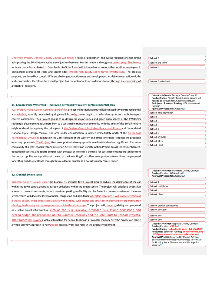
13. Naas Mobility Network Integration This Project will be delivered by Kildare County Council and aims to reduce traffic congestion through Naas town centreto facilitate the efficient movement of people and goods within the town centre, improving safety for school pupils and enhancing accessibility for people with mobility impairments. The project encompasses the completion of a 45m extension of Corban’s Lane which will serve as an alternate route for traffic and act as a catalyst for the restriction of through-traffic on Naas Main Street. The Main Street will be reshaped as the key outcome of this project to a low speed, narrow carriageway with extensive public realm areas integrated with the existing architectural heritage and fabric yielding significant improvements for the public realm and streetscape and completing the connection to local green infrastructure. The project will also involve linking existing Active Travel infrastructure and constructing further routes to connect residences, schools, retail, leisure, community and medical facilities and existing public transport nodes. The proposed integrated sustainable transport infrastructure includes a 30kph zone, improved bus stop infrastructure, cycle and scooter hire and parking, a 6.2m wide main carriageway, accessible parking spaces, pedestrian crossings, outdoor seating and public realm improvements, avenue tree planting and drainage.  14. Killarney - 10 min town This pathfinder project will be delivered by Kerry County Council and encompasses a group of projects building a core defined cycling network with potential for intermodal trips by reducing carriageway widths, traffic management, removal of parking spaces and prioritising sustainable mobility. The Project will also incorporate a number of Safe Routes to Schools. The project will facilitate Killarney’s development as a sustainable compact settlement in line with 10-minute town principles, whereby a range of community facilities, schools and services are accessible in short walking and cycling timeframes from homes   Servicing Schools/Universities 15. Safe Routes to Schools Programme - Acceleration This pathfinder project will accelerate the delivery of the NTA’s Safe Routes to School Programme through improved resourcing and an initial focus on more rapid implementation of front-of-school treatments, which will bring immediate safety improvements in the vicinity of the schools. Acceleration of the programme will also be aided by streamlining the planning process for these front of school treatments. It is proposed to establish a rolling programme for implementing subsequent rounds of schools so approx. 500 schools will have front of school zones completed, cycle parking in place, and draft delivery plans completed by end Q4 2025.  16. Rathmullan Rd & Marley’s Lane, Drogheda
Deleted: This pathfinder projectDeleted: , with the aim ofDeleted: ingDeleted:
Deleted: <#>Project Owner: Kildare County Council¶Funding status: Not currently funded¶Funding shortfall: Remains unclear re: funding for the actual pathfinder element despite multiple requests for clarification - estimating c. €20m for the entire scheme¶Anticipated source of funding: Seeking NTA active travel funding for some elements and potentially also URDF funding ¶Approval process required: NTA application and gateway; URDF application and assessment process¶Deleted: the construction of Deleted: . Formatted: Font: Lato, 10.5 ptDeleted: <#>Project Owner: Kerry County Council¶Funding status: NTA prepared to fund but will require reduction in allocations for Tralee, Listowel¶Funding shortfall: €4.85m¶Approval process required: NTA Gateway¶¶
Deleted: <#>Project Owner: NTA¶Funding status: Funded by NTA, but would ideally be an increase in staffing costing €600k p.a. for 3 years
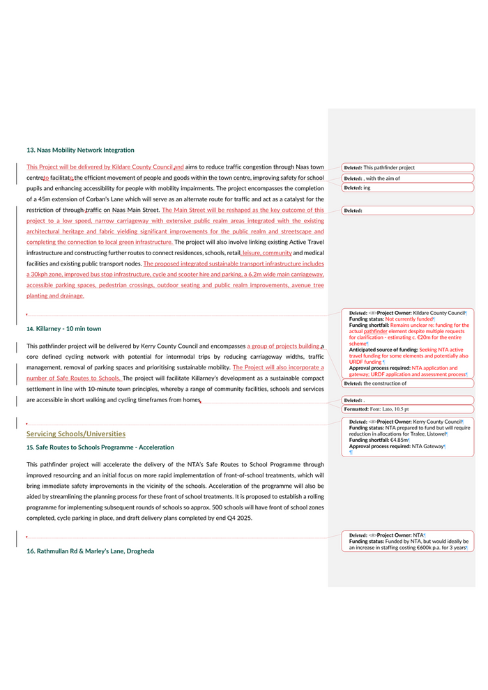
This pathfinder project will be delivered by Louth County Council and will create a safer and more sustainable transport link between local schools, healthcare facilities, and sports and leisure facilities along Marley’s Lane and the upper part of Rathmullan Road, to the town centre of Drogheda in line with the 15 minute Neighbourhood concept. The scheme will also provide a link to the town for people living along the scheme in the multiple housing estates, and to connect with Drogheda Town Centre, as well as Bus and Train stations along the R132. The Project will play an integral part in linking residential areas, town centre, educational premises and an existing Boyne River Side walk, which although primarily tourist related provides a critical linkage for cyclists commuting to work and schools in Drogheda Town Centre.   The proposed scheme on the Rathmullan Road & Marley’s Lane Drogheda is for the installation of active travel facilities, including cycle ways, pedestrian paths, upgrading existing junctions, provision of safe cycle way crossing points and improvement of footpaths along Rathmullan Road and Marley’s Lane to tie in with the newly refurbished Dominic’s Bridge via an off-line section through Dominic’s Park, a popular recreational park in Drogheda Town Centre. The Project will function as an exemplar of an active travel neighbourhood, and Louth County Council will monitor the impact of the project on an ongoing basis, benchmarking progress against existing data from February 2022.   17. Hanover to Tyndall AT Route to TU The Hanover to Tyndall Pedestrian and Cycle Scheme will be delivered by Carlow County Council. This Project will provide high quality pedestrian and cycle facilities along the R448 (Kilkenny Road) in Carlow Town, connecting Carlow Bus Park, located at Hanover in the centre of Carlow Town, and the educational facilities of the South East Technological University (SETU) and Tyndall College which are located along the R448. The proposal involves the upgrading existing sections of on-road cycle lanes and sub-standard footpaths to high quality separated cycle  tracks and footpaths. The scheme will improve pedestrian and cycling facilities along the route and provide easy access for the many residents of the area with the many retail, recreational and town centre services available in Carlow. The  proposed  improvements  will  make  it  safer  and  more  attractive  to pedestrians & cyclists, while encouraging commuter modal shift away from single vehicle use  .  18. BusIt2School – Working with schools and community to encourage use of town bus services instead of cars This Project will be delivered by Meath County Council, who will work with various schools in Navan along the town bus network to develop a ‘BusIt2School’ Programme aimed to encourage school children who are typically driven to school to take the bus instead. The project will promote the health, economic, sustainability and environmental benefits of bus travel, helping students and their families build confidence in public transport being
Deleted:  Deleted: pathfinder
Deleted: ¶ ... [6]Deleted: pathfinder Deleted: pDeleted: /
Deleted: also Deleted: .
Deleted: <#>Project Owner: Carlow County Council ¶Funding status: NTA to fund¶Deleted: T
Deleted: pathfinder Deleted: p
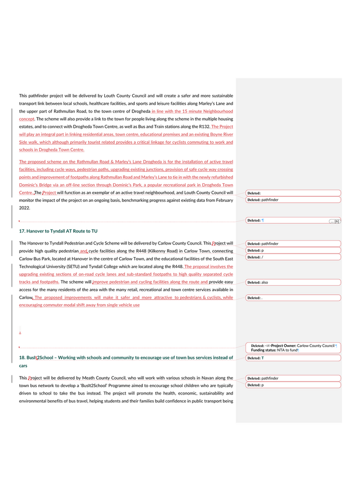
a safe and efficient way to /from school and to other activities. The Council will use a collaborative community-based approach working with the school boards, teacher, parents, pupils, the NTA, Bus Eireann, and An Taisce to deliver the project, and will develop a cascade/peer-to-peer interactive learning model in which ‘champions’ take on the responsibility of disseminating knowledge. to other students who voluntarily participate in the program.    19. Athlone Cycle Corridor, linking TU with Centre Westmeath County Council will provide an Active Travel route from Baylough on the west side of the town (Bounty boundary with Roscommon County Council) along the Old Galway Road/Old Dublin Road to Creggan on the eastern extremity of the town. It will build in connectivity with the Dublin-Galway Greenway at multiple locations which will benefit a core area through the town, providing Active Travel facilities to key destinations including business, retail, residential, educational and leisure and linking with the pedestrian/cycle bridge currently under construction across the River Shannon as part of the Dublin-Galway Greenway. The cycle corridor will also encompass the Technological University of the Shannon - Midlands (TUS), which has a significant student population, and which will be a hub location for Athlone’s new bike hire scheme. The Project will also involve increasing permeability to bus stops on the routes of the existing Athlone Town Bus Service.   Engagement/Research 20. Smart and Sustainable Mobility Training Workshops This pathfinder is a capacity-building and education initiative for Local Authorities (LAs), Councillors and Public Participation Networks (PPNs) in each Region. It will be project managed and coordinated by the Regional Assemblies with County and City Management Association (CCMA) support and co-designed with Sustainable Mobility Policy (SMP) Delivery Team partners. Involving international sustainable mobility experts, it will deliver training programmes for LAs including Active Travel teams, and for business community reps, Elected Members, and local communities to build local SMP ambassadors. By applying good practice project learning to location-specific project challenges and assisting in the acceleration of infrastructure projects and smart mobility initiatives, it will be an enabler for other pathfinder projects. Workshops will target case study projects in a range of locations (Cities, Regional Growth Centres, Key Towns, Rural Areas) focusing on creative, cost-effective, early win projects impacting modal shift and SMP targets.    21. “The First and Last Green Mile”: Pilot to integrate local link service, hackney and community e-bike scheme This pilot project which will be delivered by Leitrim County Council and explore how community-based solutions can improve integration with public transport services.  The pilot encompasses further research into demand for
Formatted: List ParagraphDeleted: <#>Project Owner: Meath County Council¶Funding status: Not funded¶Funding shortfall: €250,000¶Anticipated source of funding: Potentially NTA, Donal Kerr thinks this is a viable route – this not chiming with NTA’s active travel side, need to explore further with PTCSD maybe¶Approval process required: ¶Deleted: This pathfinder project proposes to
Deleted: <#>Project Owner: Westmeath County Council¶Funding status: NTA to fund, though advise that if both Athlone and Mullingar to be funded, that will swallow all of Westmeath’s AT allocations for the years to 2025, assuming reates of allocation remain similar to 2022¶Funding shortfall: €5.6m¶Approval process required: NTA Gateway¶Deleted: CCMA Deleted: SMP Deleted: With
Deleted: way
Deleted: <#>Project Owner: Regional Authorities¶Funding status: Not yet funded¶Funding shortfall: €400,000 approx.¶Anticipated source of funding: DoT Research Funding ¶Approval process required: Business case to EAAD¶Deleted: pathfinder is a Deleted: ,Deleted: ing
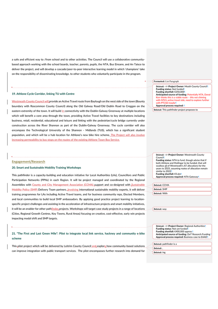
services, building on an existing community car scheme, following which an operations model and governance system will be developed. The project will also include the development of a software management tool to manage the matching of requests with transport providers. The project aims to provide insight into effective rural sustainable mobility options, reduce reliance on the private car with commensurate carbon abatement and facilitate households to move from two car to one car ownership.  22. Research and pilot to trial carpooling among large employers This project will be delivered by Leitrim County Council, who will pilot an employee carpooling scheme among County Leitrim’s largest employers. The County Council will provide leadership by implementing this scheme with its 250 staff members and has begun a process of engagement with all the largest employers in the County to encourage their participation. The project will utilise off the shelf software for its roll out to coordinate requests and to incentivise staff to participate. Following a review of the pilot, the project may be extended to other specific groups (e.g., sports/youth groups), and could be replicated for use in other rural areas.   23. Dingle Integrated Community-Based Sustainable Mobility for Rural Ireland This project is a pathfinding community-anchored pilot to address infrastructural and behavioural challenges and enable delivery of decarbonisation of the transport sector in an integrated way on the Dingle Peninsula (Kerry CoCo Decarbonisation Zone), delivered by Dingle Hub. This project aims to bring together community initiatives to encourage modal shift, the provision of improved public transport facilities and related infrastructure, the use of electric or low carbon vehicles including micro-mobility, and an active public engagement campaign. The effectiveness of these measures will be analysed and evaluated through the implementation of robust, standardised   24. Sligo Shared eBike Scheme – expansion through the installation of charging docks Sligo County Council has rolled out a 12-month trial for electric bikes (e-bikes) in and around Sligo Town, which will run until June 2023. The primary purpose of this trial is to establish whether an efficient and convenient e-bike scheme will help to support and encourage the desired modal shift from private car towards sustainable shared transport alternatives throughout Sligo. This project would facilitate the expansion of the pilot scheme through the provision of charging docks in two locations in Sligo town, negating the need for frequent battery replacement, and would function as a demonstrator project for shared ebike schemes in similar sized regional towns.    Workplace/Commercial 25. Workplace Mobility Hubs – Four Dublin Local Authorities Building on initial work done to date, under this Project Smart Dublin would seek to establish an (internal) shared mobility scheme for staff of the four Dublin Local Authorities (DLAs) to use for business-related travel. The project
Deleted: <#>Project Owner: Leitrim County Council¶Funding status: Not funded¶Funding shortfall: €146,000¶Anticipated source of funding: NTA active travel funding is a no – what other source? Discuss with PTCSD?¶Approval process required: ¶Deleted: pathfinder
Deleted: <#>Project Owner: Leitrim County Council ¶Funding status: Not funded¶Funding shortfall: €75,000¶Anticipated source of funding: NTA active travel funding is a no – what other source? Discuss with PTCSD?¶Approval process required:¶Formatted: Normal,  No bullets or numberingDeleted: monitoring and data collection at local level.¶Project Owner: Dingle Hub¶Funding status: Partially funded¶Funding shortfall: Clarity sought on detail¶Anticipated source of funding: TII (LocalLink); NTA (AT infrastructure); other aspects not yet identified¶Approval process required: VariousDeleted: trial
Deleted: pathfinder
Deleted: <#>Project Owner: Sligo County Council¶Funding status: NTA to fund¶Deleted: 4Deleted: LAsDeleted: this pathfinder